Kaea Tibble
Pou Herenga Tangata Awardee 2021
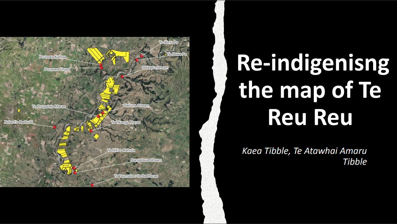
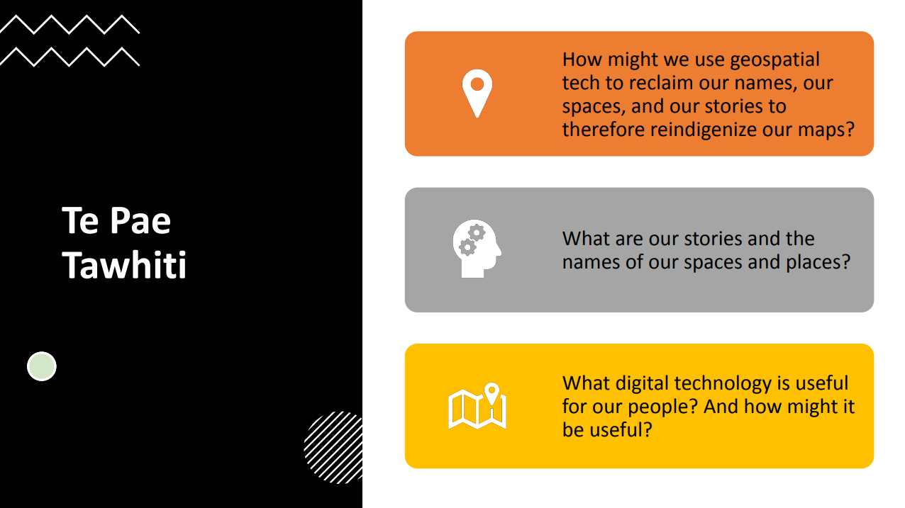
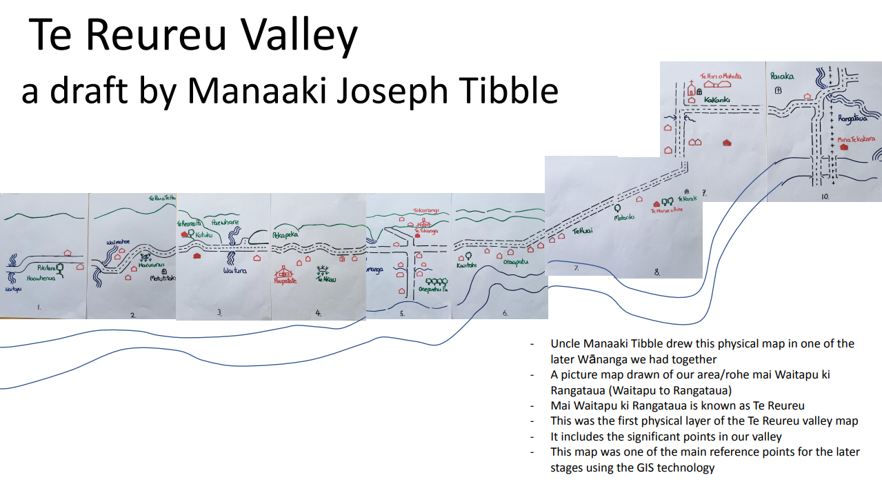
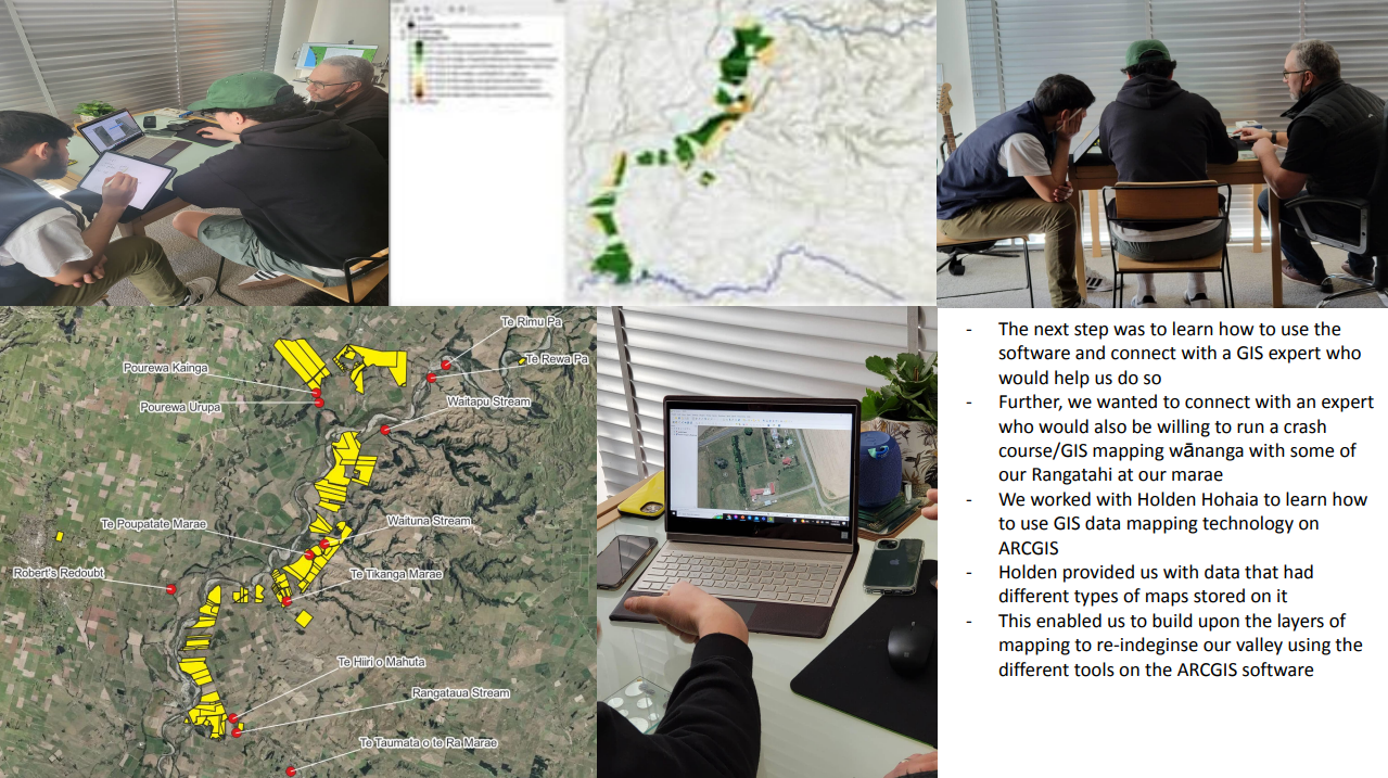
Led by 20-year-old rangatahi, Kaea Tibble (Ngāti Porou, Ngāti Raukawa ki te Tonga, Ngāti Tūwharetoa, Ngāti Pikiahau-Waewae) utilised his grant funding to launch a project to decolonise and reindigenise the map of his whānau’s whenua using GIS (Geographic Information System Mapping Technology). The project aims to reclaim the ingoa and pūrākau of Tibble’s tūpuna that are embedded throughout the Tokorangi valley; an idea sparked by Tibble’s father and inspired by the work of indigenous groups in Minnesota.
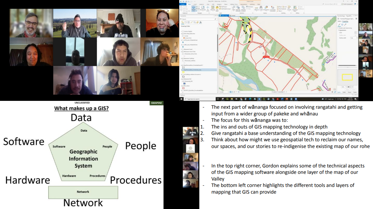
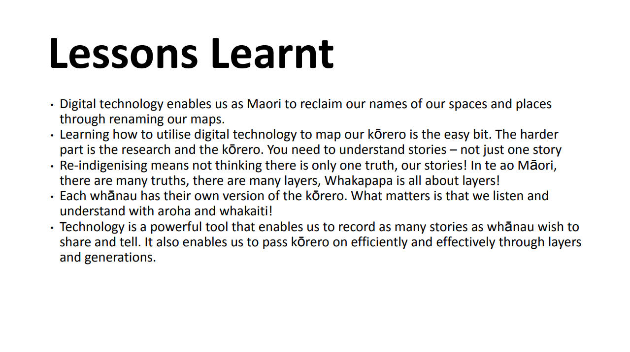
Unlike the globes that sit on desks, or maps that we stick on the wall, GIS maps “are really detailed and have different layers,” says Tibble, who likens the technology to the layered nature of mātauranga surrounding place names given by tūpuna. “Those maps are really about layers, and whakapapa is about layers as well,” he says. “So I think there’s pretty strong parallels between the two.”
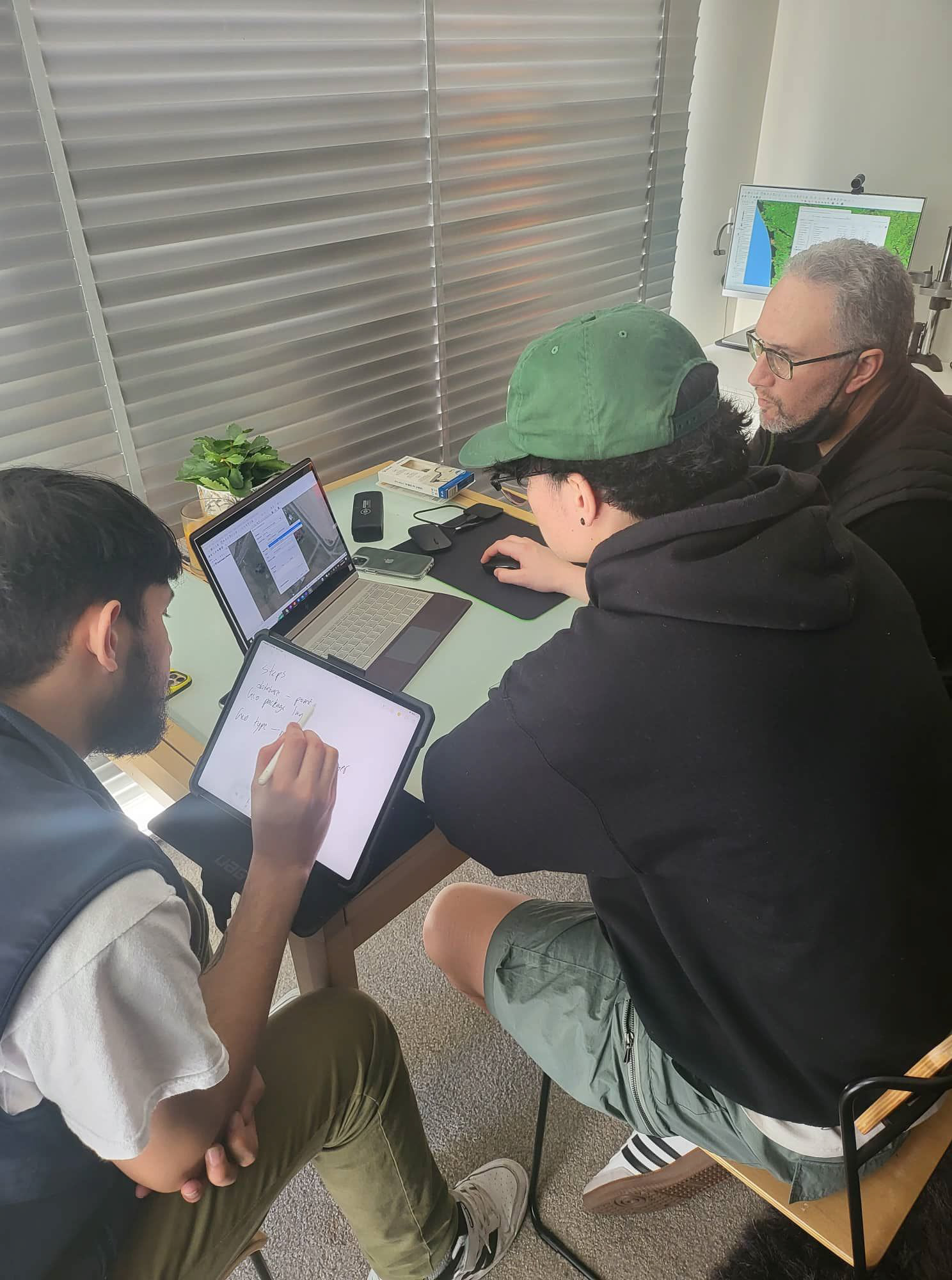
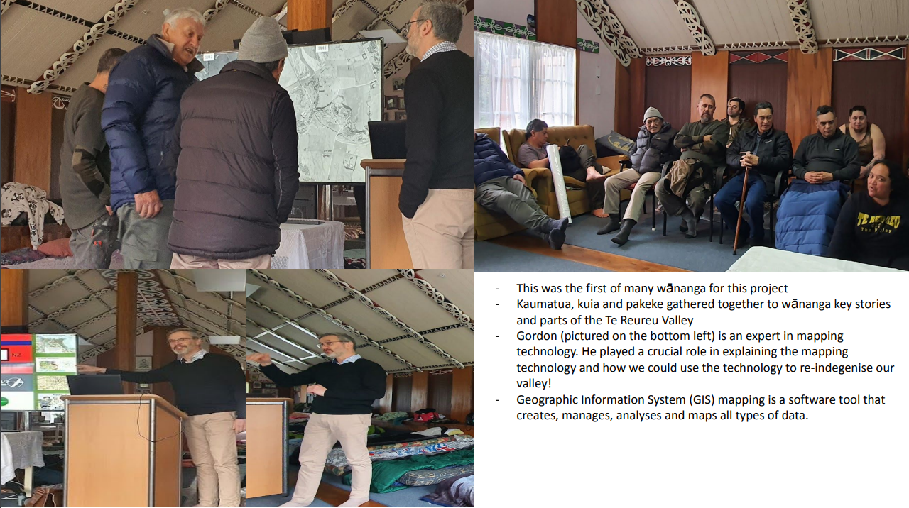
Tibble organised multiple hui and wānanga bringing together GIS experts and kaumātua, and as a result, has started to fill in those layers.
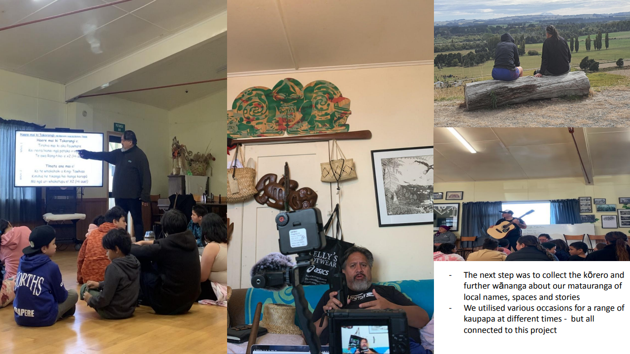
“Typically, the lens hasn’t focused on the importance, the beauty, and the connection that comes from place names,” he says. “We’ve been lucky enough to kōrero with people that have given up their time to contribute to this kaupapa, and speak on how important names are, how important spaces are, and how important places are.”
The project is ongoing, as more people become involved, the more stories and layers are added to the map. Tibble hopes the mapping creates a space where those who don’t have easy access to the marae can still access those stories and place names from wherever they are, and that as more people become involved with the project, they’ll be able apply skills learnt to maps in their own rohe.
